
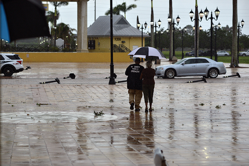
A perceived lull in hurricane season may sound promising, but more extreme weather could be around the corner.
The National Weather Service’s Melbourne office, in light of strong currents blowing westward from the Pacific Ocean, issued an “El Niño Advisory” as of Sept. 30.
Strong air currents from El Niño, in the short term, can mean relief for St. Lucie after enduring South Florida’s hottest August on record, NWS records show.
Temperatures here hit constant highs in the mid-90 degrees Fahrenheit, including a record 96 degrees Aug. 17-18. But promising cooldowns do little to impede the risk of hazardous storms. NWS Melbourne, in their dry season forecast (covering Nov. 1 to April 30), reported “strong” El Niño currents that can produce “well above normal” rain and storm activity.
Temperatures, despite the summer’s intense heat, will see cooldowns to a “normal” range for the Treasure Coast, according to NWS Melbourne Meteorologist Megan Tollefsen. Those can mean cooldowns from highs in the mid-80s later this month to the mid-70s throughout the winter, with lows approaching the low 50s by February.
“Given the strong El Niño forecast,” Tollefsen said, “we are anticipating an increased level of storminess across the Treasure Coast through this winter. While I obviously cannot speak to exact storm impacts and timing, there is a signal for a greater risk of severe weather.”
Storms still quench the county, especially after a severe drought and historic low temperatures in February.
The CoCoRaHS volunteer weather group recorded countywide totals as staggering as they were intermittent. Both September and October began with heavy rains, particularly in the southern county.
Recording stations in southern Port St. Lucie logged up to 3 inches of rain Sept. 1, which paled to the 3.42 inches collected there Oct. 1. The same day, storms blowing in from the south dropped as much as 4.81 inches of rain in White City and 5.47 inches in Jensen Beach.
These rains can correlate with what a winter with strong El Niño currents have in store for the Treasure Coast.
“It is difficult to say with exact certainty what the temperature differences between the coast and interior portions will look like. This can vary depending on the prevailing wind direction on any given day,” Tollefsen said.
“Just because trends favor near-normal values, this does not mean we will not see temperatures outside the normal range. Freezes and even above-normal temperatures can still occur.”
In their most foreboding prediction, NWS Melbourne suggested tornadoes, rare as they may be, could occur with intensity similar to those of Hurricane Milton here in 2024.
“It is important to emphasize that even though there is this increased signal for these impacts,” Tollefsen said, “it does not guarantee that a tornado outbreak will occur. Additionally, El Niño does not cause tornadoes, but rather ‘sets the stage’ by increasing opportunities for weather systems to impact the area.”
In preparation, specialists led by Will Ulrich, NWS Melbourne’s Warning Coordination Meteorologist, will speak to emergency staff, public safety officials and media personnel about El Niño developments later this month.
Ulrich and the Integrated Warning Team will lead two 10 a.m. discussions in Stuart (Oct. 20) and Orlando (Oct. 22), according to a Sept. 30 release.
NWS specialists stress public awareness and caution going forward with these forecasts. The upcoming workshop “will cover the science behind the phenomena,” said Tollefsen, including explanations of “previous strong El Niño events,” and advice to “act ahead of the next significant weather event.”